Objective: To Build a machine learning system to classify land cover types (like urban, forest, farmland, etc.) from satellite imagery using a combination of supervised and unsupervised learning models..
Key Components:
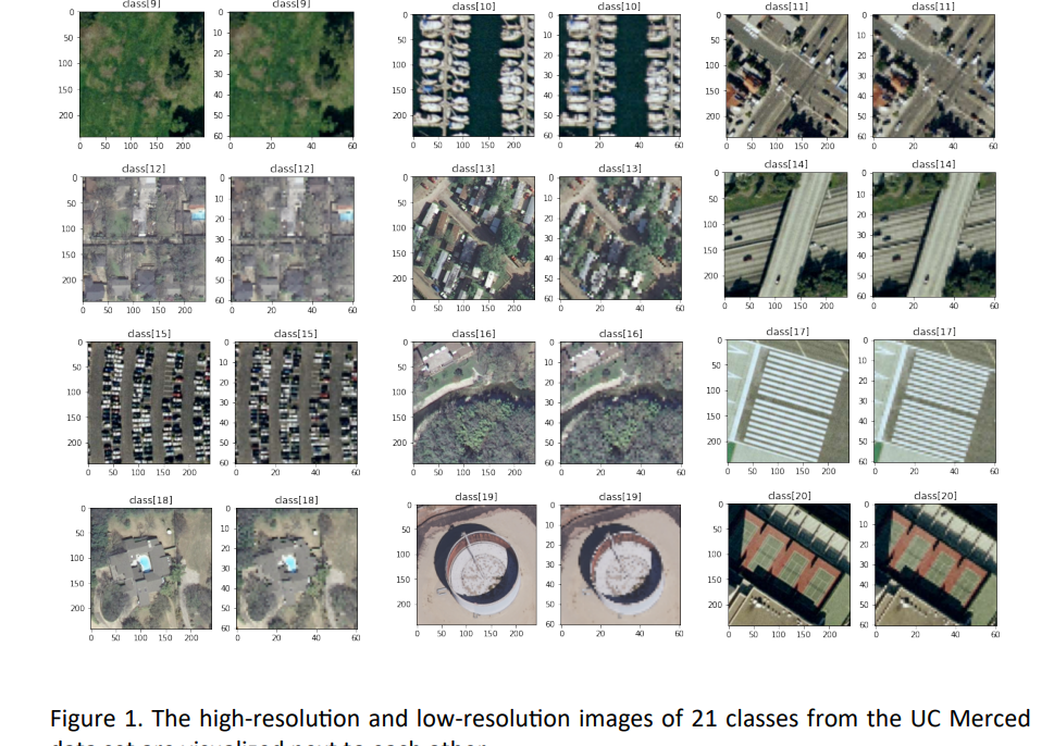
- Dataset: Used the UC Merced Land Use Dataset — 2,100 images across 21 land use categories. These included both high- and low-resolution RGB images.
- Methodology:
- Data Handling: Split images into 80% training, 10% validation, and 10% testing sets..
- Feature Extraction : Focused on Histogram of Oriented Gradients (HOG) to capture shape and texture data.
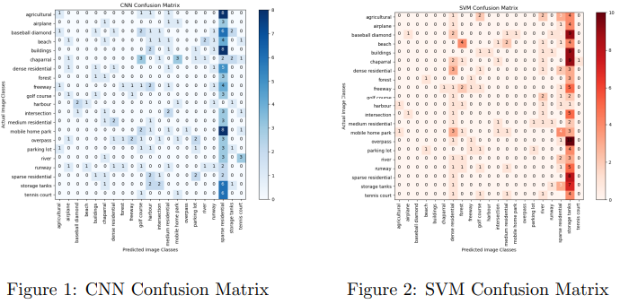
- Algorithms Used: Applied a range of models — K-Means, Gaussian Mixture Models, Support Vector Machines (SVM), and Neural Networks.
- Model Evaluation: Used confusion matrices and accuracy metrics to assess each model’s performance.
Key Outcomes:
- Strong Classification Performance: Best results came from the SVM model paired with HOG features.
- Pattern Discovery: Revealed useful land use patterns that could inform urban planning or environmental studies.
- Transferable Techniques: Demonstrated how simple feature extraction + ML can be applied to problems like crop detection or mapping urban expansion.
Explore More: For a detailed exploration of the project’s methodology and findings, visit the GitHub repository: Land Cover Detection Project.